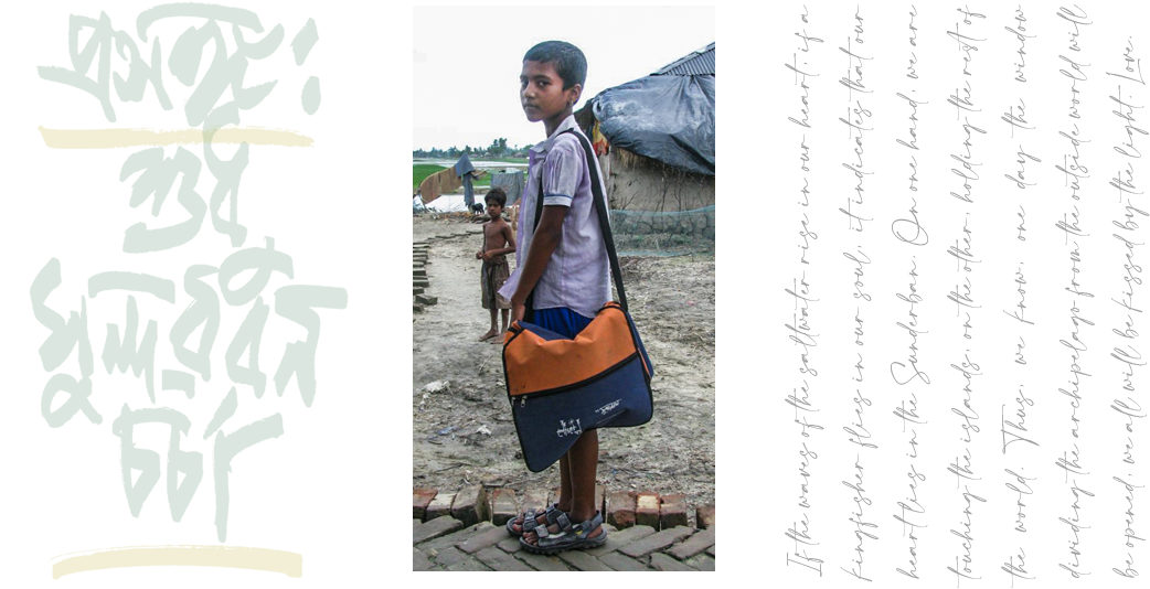
 prologue
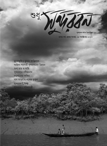
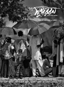
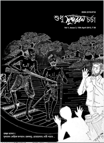
Our tri-monthly magazine ‘Sudhu Sundarban Charcha’, is the fruit of years of combined effort and experience. It aims to cover several aspects of Sundarban — from historical significance to topographic variance, from the flora and fauna to socio-economic struggles of the settlements formed. This experience is the key to satisfy your interest for the world’s largest delta.
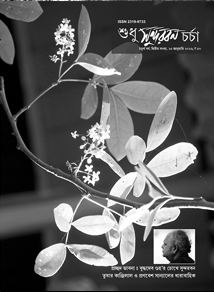
Due to climate change the Sundarbans faces several ecological challenges. With rising sea levels, islands are disappearing. Increasing salinity of the water is a huge threat to the health of mangrove forests and the quality of crops. These alarming signs are highlighted by our experts, along with the characteristic changes of the rivers flowing through the delta, the structural role of river embankments, etc. with considerable importance.
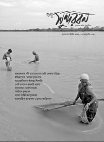
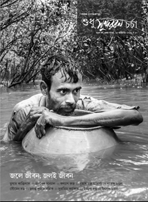
Meeting the needs of a well circulated news magazine production isn’t simply about having the day-to-day report of local community. The text must be distinct as well as interesting. An agile and collaborative analysis is much needed for portraying social or financial constraints of marginalised people from these remote islands.
Such experiences are brought efficiently to a high-standard production by our team, making our traditional and print-based publication the best informative news magazine of Sundarban over a decade.
![]() INDIAN SUNDARBAN
INDIAN SUNDARBAN
The Indian part of the Sundarban occupies an area of 4266 sq. km. The total extent of the world’s largest delta is 10, 435 sq. km, the remaining 6169 sq. km area lies in Bangladesh. So, around 58.5% of the Sundarbans lies within Bangladesh, while the remaining 41.5% is present in India. It covers districts like Khulna, Satkhira, Bagerhat in Bangladesh, and the North and South 24 Paraganas of West Bengal in India.
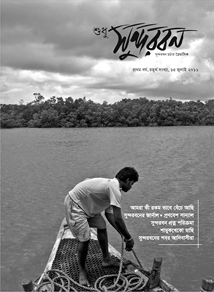
River embankments are an integral part of Sundarban. Though a clichéd term, but literally the embankments are the ‘lifeline of Sundarban’. As per the report published by the State Irrigation Department, the total length of the embankment here is 3500 km. But as observed from satellite images recently, the functional part of the embankment covers a length of not more than 2000 km.
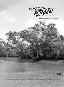
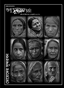
The fertile silt-containing alluvial soil deposited by the rivers Ganges, Brahmaputra and Meghna, before joining the Bay of Bengal forms the world’s largest delta – the Sundarban. This is amazing and uniquely complex ecosystem; you won’t find something similar anywhere else. What makes this region so unique is a steady growth of human settlement (with a strength of 70 lakhs people) in these islands alongside the rich collection of flora and fauna.
On one hand the noble initiative to preserve the gradual eroding natural vegetation at any cost, on the other hand, in-depth reporting of the various highs and lows of the people living around these mangrove forests in the form of daily journal — we chose to write about Sundarban to take up these two challenges and do somewhat justice to them, and share our experiences with you all!
The extent of the Indian territory of the Sundarban comprises of 13 blocks from South 24 Paragana district. Those 13 blocks are Sagar, Kakdwip, Namkhana, Patharpratima, Mathurapur-1, Mathurapur-2, Jaynagar-1, Jaynagar-2, Kultali, Basanti, Canning-1, Canning-2, and Gosaba. Apart from that, 6 blocks from the North 24 Paragana district are included in the territory. They are Harowa, Minakha, Hasnabad, Sandeshkhali-1, Sandeshkhali-2, and Hingalganj.
If we try to identify the big rivers that entered Sundarban and drained in Bay of Bengal, from left to right, the list is somewhat like this: Hoogly (Gabtala & Bottala or Muriganga), Saptamukhi, Thakuran (Jamira), Matla, Bidya, Gosaba or Goasaba, Haribhanga or Harinbhanga, Raimangal (Jamuna), Malancha, Kunga, Pashur, Bhangra, and Boleshwar.
A total of 135 small islands together forms the Indian territory of Sundarban. But according to older documents, it is comprised of 102 islands, among which 54 have been made ideal for human settlement while the remaining 48 are regarded as restricted zones and habitat of wild animals. Now as per the data collected from satellite images, due to the regular tidal actions on this region, islands fit for human settlement at the present moment, are not more than 35. Thick covers of mangrove forests are prevalent in 100 of such islands.
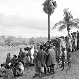
According to the 2011 Census report, the total population of the Indian Sundarban is 44, 26, 259 out of which 51.15% are male and the remaining 48.85% are female. Again, 35.58% of the population belongs to the scheduled caste section, and 4.79% belongs to the scheduled tribe section of the society.
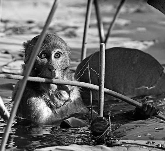
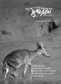
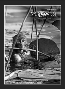
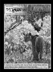
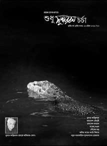
The rich array of fauna in this region includes 50 species of reptiles, 8 species of amphibians, 315 species of birds, and 42 species of mammals. Apart from that 210 types of fishes, 24 species of prawns, 14 species of crabs, and 73 varieties of snails and molluscs provides a unique touch to the biodiversity of Sundarban.
![]() INDIAN SUNDARBAN
INDIAN SUNDARBAN
The Indian part of the Sundarban occupies an area of 4266 sq. km. The total extent of the world’s largest delta is 10, 435 sq. km, the remaining 6169 sq. km area lies in Bangladesh. So, around 58.5% of the Sundarbans lies within Bangladesh, while the remaining 41.5% is present in India. It covers districts like Khulna, Satkhira, Bagerhat in Bangladesh, and the North and South 24 Paraganas of West Bengal in India.
If we try to identify the big rivers that entered Sundarban and drained in Bay of Bengal, from left to right, the list is somewhat like this: Hoogly (Gabtala & Bottala or Muriganga), Saptamukhi, Thakuran (Jamira), Matla, Bidya, Gosaba or Goasaba, Haribhanga or Harinbhanga, Raimangal (Jamuna), Malancha, Kunga, Pashur, Bhangra, and Boleshwar.
River embankments are an integral part of Sundarban. Though a clichéd term, but literally the embankments are the ‘lifeline of Sundarban’. As per the report published by the State Irrigation Department, the total length of the embankment here is 3500 km. But as observed from satellite images recently, the functional part of the embankment covers a length of not more than 2000 km.
A total of 135 small islands together forms the Indian territory of Sundarban. But according to older documents, it is comprised of 102 islands, among which 54 have been made ideal for human settlement while the remaining 48 are regarded as restricted zones and habitat of wild animals. Now as per the data collected from satellite images, due to the regular tidal actions on this region, islands fit for human settlement at the present moment, are not more than 35. Thick covers of mangrove forests are prevalent in 100 of such islands.
The fertile silt-containing alluvial soil deposited by the rivers Ganges, Brahmaputra and Meghna, before joining the Bay of Bengal forms the world’s largest delta – the Sundarban. This is amazing and uniquely complex ecosystem; you won’t find something similar anywhere else. What makes this region so unique is a steady growth of human settlement (with a strength of 70 lakhs people) in these islands alongside the rich collection of flora and fauna.
On one hand the noble initiative to preserve the gradual eroding natural vegetation at any cost, on the other hand, in-depth reporting of the various highs and lows of the people living around these mangrove forests in the form of daily journal — we chose to write about Sundarban to take up these two challenges and do somewhat justice to them, and share our experiences with you all!
According to the 2011 Census report, the total population of the Indian Sundarban is 44, 26, 259 out of which 51.15% are male and the remaining 48.85% are female. Again, 35.58% of the population belongs to the scheduled caste section, and 4.79% belongs to the scheduled tribe section of the society.
The extent of the Indian territory of the Sundarban comprises of 13 blocks from South 24 Paragana district. Those 13 blocks are Sagar, Kakdwip, Namkhana, Patharpratima, Mathurapur-1, Mathurapur-2, Jaynagar-1, Jaynagar-2, Kultali, Basanti, Canning-1, Canning-2, and Gosaba. Apart from that, 6 blocks from the North 24 Paragana district are included in the territory. They are Harowa, Minakha, Hasnabad, Sandeshkhali-1, Sandeshkhali-2, and Hingalganj.
The rich array of fauna in this region includes 50 species of reptiles, 8 species of amphibians, 315 species of birds, and 42 species of mammals. Apart from that 210 types of fishes, 24 species of prawns, 14 species of crabs, and 73 varieties of snails and molluscs provides a unique touch to the biodiversity of Sundarban.
![]()


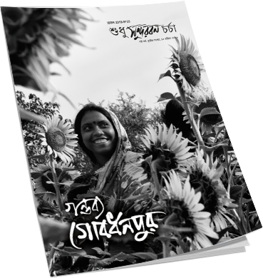
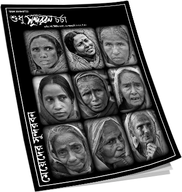
![]() ARCHIVE
ARCHIVE


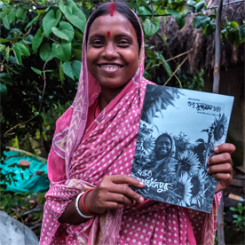
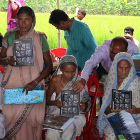
![]() SPECIAL MOMENTS
SPECIAL MOMENTS


Because you make us better.
© Sudhu Sundarban Charcha & Tepantarer Swapna | All Right Reserved
Designed by Abhijit Chakraborty